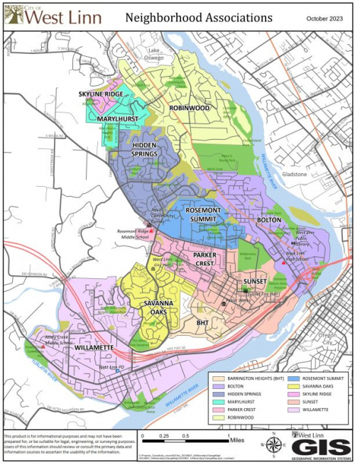
Neighborhood Associations Map
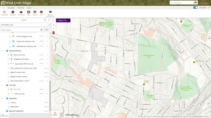
Use West Linn Maps by clicking on the link below to find your neighborhood association using your address.
Or, use the links below to download a printable 8.5"x11" (Letter Sized) PDF map:
503-657-0331
Use West Linn Maps by clicking on the link below to find your neighborhood association using your address.
Or, use the links below to download a printable 8.5"x11" (Letter Sized) PDF map: