Metro Maps
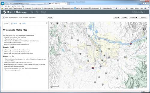
Make a map of anywhere in the Portland Metropolitan Area (including West Linn) using "MetroMap" by clicking on the link below. This beautiful shaded relief base map allows users to view and print maps showing taxlots, bike routes, outdoor recreation and conservation areas, and 12 various "boundaries" (fire districts, city limits, garbage haulers, neighborhoods, park districts, school districts, transit districts, and voter precints). Also view the Portland Metro Urban Growth Boundary (UGB). In total, over 30 GIS map layers are available to make you own custom maps.