Earthquake Maps
Earthquake Regional Impact Analysis for Clackamas, Multnomah, and Washington Counties - a publication from the Oregon Department of Geology and Mineral Industries (DOGAMI) - Click here to view the publication.
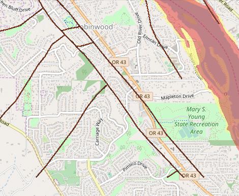
View Earthquake Fault Lines and other Natural Hazards throughout the State of Oregon (Navigator Hazards GIS Data). Use the map link below to zoom-in or -out and pan. Click on the basemap tool to change the background map.