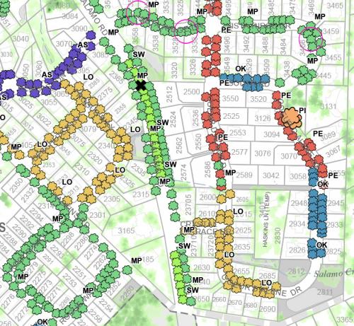
Street Tree Inventory Map
Use the links at the bottom of this page to view the Street Tree Inventory Map
The City of West Linn Street Tree Inventory was developed using City aerial photography, Google Street View, citizen input, and staff field observations using esri ArcGIS software. A mobile field collection application was developed using ArcGIS online technology to collect tree location, condition, diameter, and type. Completion of the inventory took place on October 2016 and this map was developed in April 2017. There are 4,774 trees displayed on the map. This inventory is intended to identify street trees only, which is defined as trees that were planted as part of a larger subdivision, typically evenly spaced within the planter strip, and are located within the public right-of-way. Street trees in private gated communities were located, but no attributes were collected since these are not considered public street trees. Some historic or heritage trees have been included for display on this map.
Visit our on-line mapping application to view and query this inventory data, located at:
https://westlinnoregon.gov/maps/west-linn-maps.